(Riding California Highways 1 and 101)
Day Three:
I rose early again and loaded the bike. This day's plan was to continue on down Hwy 1, even though I had been warned that it was pretty dull stuff south of San Simeon (it was), to San Luis Obispo and at least achieving that much of my trip's "goals." Hwy 1 joins up with Hwy 101 in San Luis Obispo and from this most southerly point of my ride I would begin my journey back to the north.
Rain was predicted for pretty much the whole state this day but so far the blue skies with scattered clouds held. I thought it best to take advantage of the holding weather and get the greater, urban San Luis Obispo behind me. I'd deal with breakfast somewhere down the road. To me these early morning riding hours are some of those most pleasurable of the day.
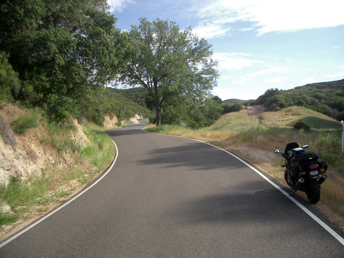
...because Dogboy had also mentioned a little, roller coaster of a road, Hwy 229 that was unlike any other he'd run across. Oh man, was he right! Hwy 229 seemed to be mostly intended to give access to some remote ranches along a creek in some rolling hills. Now I've ridden twistier roads and I've ridden narrower roads but I've never ridden anything this twisty, narrow in in such amazingly good shape. The road was as smooth as glass. I found I was inclined to go a little faster on this road than was maybe prudent and tended use the entire lane-and-a-half all for myself until I met the only vehicle I saw on it in a diving curve...no problems but it was a bit of a wake-up-call.
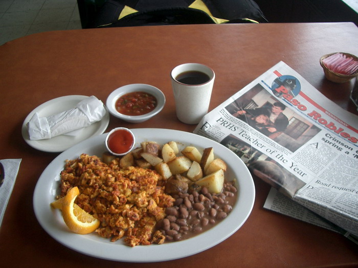
After a few miles of this fun Hwy 229 meets up with Hwy 41 which takes you to Paso Robles and back onto Hwy 101. I stopped in Paso Robles at another mon & pop Mexican cafe for a spicy breakfast...it was yummy. I told you I was fond of Mexican food ;-)
Back to reality and Hwy 101. Mostly on 4 lanes now. Pretty much a steady drone northward. The storm front was graying the sky quickly. I was making good time though and covering lots of miles.
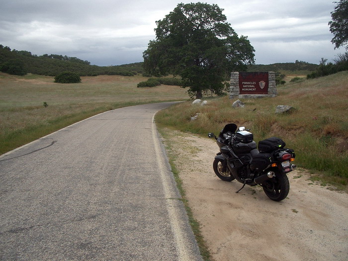
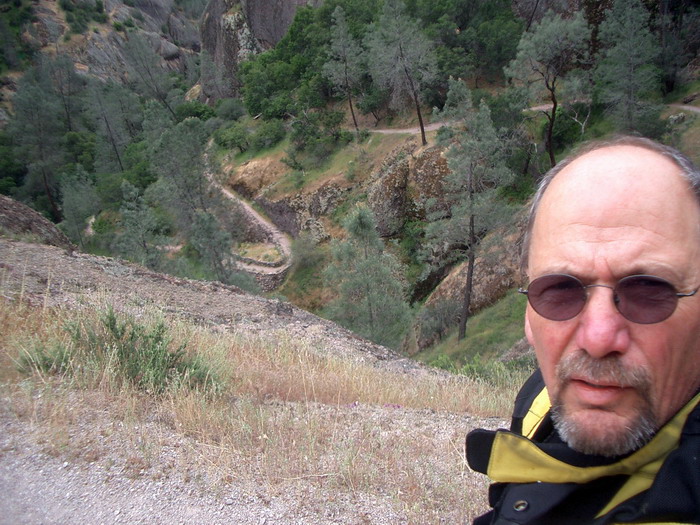
I've never been to "Pinnacles National Monument" but had it in mind as a possibility for this trip. I figured I would take a quick side trip and see it now. I cut off the four-lane at King City...first mistake, wrong road to take. First off King City is the biggest hole I stumbled onto during this trip. It's just plain ugly. No sidewalks, heavy duty agri-business, corrugated-tin industrial buildings on main street, dogs in the streets, tractors in the streets, clouds of dust blowing in the streets... NOT a tourist destination. I followed the small, somewhat interesting road up out of town and through the hills heading for the monument. I had no idea how far away it was or what really to expect when I got there. The road was crawling with tractors and wagon pulling produce (lettuce mostly) to market...slow going with lots of mud on the road. It just kept continuing on and on and on. I didn't think I'd ever arrive at Pinnacles. I eventually did.
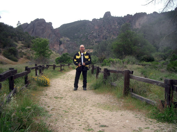
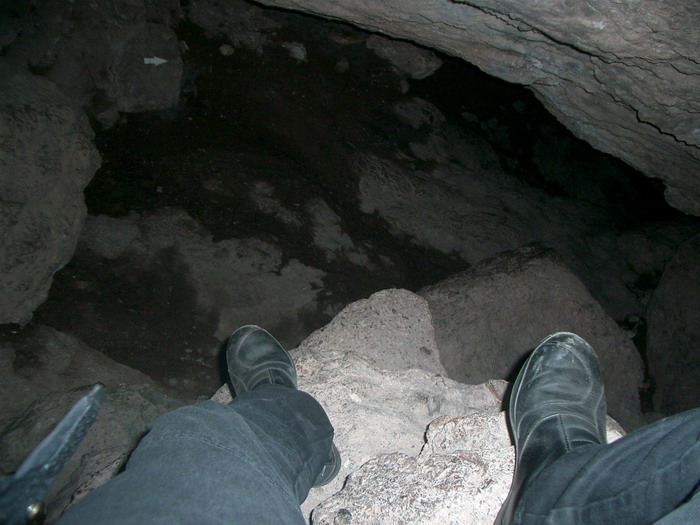
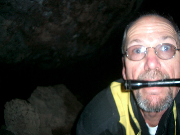
Second mistake...this wasn't going to be a "quick side trip." Pinnacles can only really be seen by hiking around it a bit. The ranger there, seeing how totally unprepared I was ("wrong road in...it's only a couple of miles to Soledad and the 101 if you take the northern route"...sigh) and marked out a "short" (2 1/2 mile) hike for me. He also warned me to take water and a flashlight as I was going to be encountering caves as part of the hike. I was inclined to disregard the water advice seeings as how it temperatures were cool and it was about to rain but dutifully packed a bottle of water and my flashlight into my motorcycle jacket (now doubling as a backpack) and headed on down the trail.
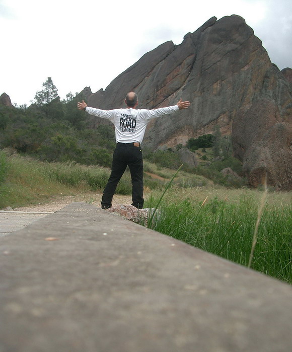
Pinnacles lies on the San Andreas Fault. It was (is?) a volcano that straddled the fault. 1/2 of it was here at Pinnacles, the other half is 100+ miles to the south. It is a huge upthrusting of rock and it is spectacular!
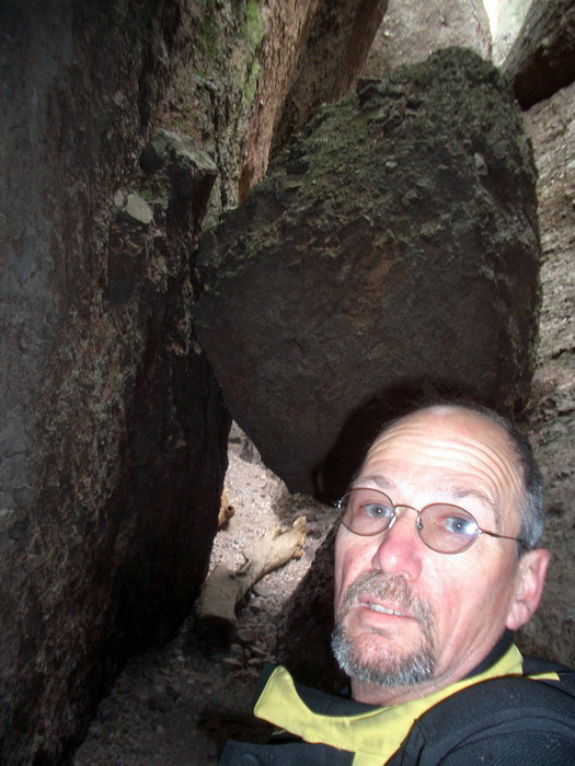
By the time I found my way out I had actually hiked over 3 miles over VERY adverse terrain. Next time I come back here (and I will) I'll be better prepared. And yes, it was a short ride out, over nice roads to Soledad. The ranger was right about the flashlight, the water AND the road out.
It was raining pretty hard off and on now. I was riding with my "designed for dry riding" summer motorcycle gloves. I had retired my old Joe Rocket "water resistant" gloves after they completely failed me on Becky and my recent Ashland trip. I figured if things got wet on this trip I'd find a motorcycle shop and buy another pair of "waterproof" ones. The rest of my gear has all been extensively tested and keeps me quite dry.
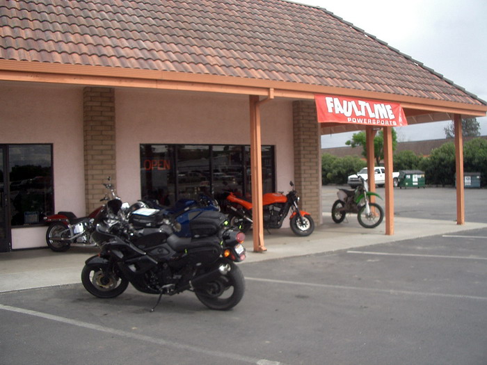
I was now travelling through the town of Hollister, made famous in the Marlon Brando movie, "Wild One" and for having large numbers of motorcyclists descend on it yearly. Yet surpisingly there were only two motorcycle shops in the whole town. One was a Harley Davidson/customized chopper shop and the other a sportbike shop. I went to the sportbike shop. They were wonderfully friendly people there and had just the gloves I needed. Some TourMaster "waterPROOF" gloves. I generally wear a "large" motorcycle glove. These suckers were sooo very thick and well insulated that I needed to buy the "extra-larges." They were fricken' HUGE!
I continued on northward on up Hwy 101 through the (sometimes hard) storms, up through the Bay area at commute time (thank goodness for California's lane-sharing laws and that motorcyclists get to use the commuter lanes) and into the northbay town of Novato before finally calling it a day. I stopped by the local Safeway on the way and picked up a few things to eat back at the motel. The motel was one we've used before (the Day's Inn Novato) that we've found affordable and handy to the Sears Point Raceway. It was 7 o'clock in the evening.

As I sat around the room getting ready for bed that evening I was playing with my new gloves which were making me laugh at how ridiculous and so very "EXTRA-EXTRA-LARGE" they looked especially when I didn't have my gear on...so I took a picture.
Long day. On the road for about 12 1/2 hours and involving a lot of extracurricular hiking. Total miles were once again around 350.
To continue on to Day 4 simply click on the palm trees